Big Sky
|
Full HD view looking east at Fan Mountain, Lone Mountain, and Sphinx Mountain,
from just south of MT 287, 5 miles SW of Ennis, 18 miles west of Lone Mountain

Elevation: 5700 ft
|
View looking SE at Fan Mountain just west of Lone Mountain,
from the north shore of Ennis Lake, 16 miles NW of Lone Mountain

Elevation: 4840 ft
|
Big Sky Resort, Interactive Tram Cam,
user-controlled movable cam atop Lone Mountain

Elevation: 11170 ft
|
Big Sky Resort, Everett's 8800 Cam atop Andesite Mountain,
looking west at Lone Mountain

Elevation: 8800 ft
|
Big Sky Resort, 18 miles NW of the NW corner of Yellowstone National Park,
Mountain Village Cam, looking west at Lone Mountain

Elevation: 7500 ft
|
Big Sky Resort, Base Area Cam,
looking west at Lone Mountain

Elevation: 7500 ft
|
Big Sky Resort, Madison Base Area Cam, at the former
Moonlight Basin ski resort, looking south at Lone Mountain

Elevation: 7400 ft
|
Big Sky Resort, Snowstake Cam,
located at the base of the Challenger Lift

Elevation: 8050 ft
|
Big Sky Resort,
located near the base area

Elevation: 7500 ft
|
Big Sky Town Center, east of Big Sky Resort on MT 64,
user-controlled movable cam

Elevation: 6320 ft
|
Karst on US 191 at MP 55.3, looking north,
8 miles north of MT 64 junction to Big Sky

Elevation: 5698 ft
Image modification time: Wed Dec 31, 1969 17:00 MST
|
Yellowstone National Park
|
CoolWorks Electric Peak and Yellowstone River Webcam,
looking SW at Electric Peak from US 89 NW of Gardiner, MT

Elevation: 5200 ft
|
View looking across US 89 and the Yellowstone River,
from US 89, 4 miles NW of Gardiner, MT

Elevation: 5250 ft
|
View looking south at Roosevelt Arch and the North Entrance
of Yellowstone National Park, from just north of US 89 in Gardiner, MT

Elevation: 5350 ft
|
Yellowstone National Park, North Entrance in Gardiner, MT,
looking SW at Electric Peak

Elevation: 5340 ft
|
Yellowstone National Park, North Entrance in Gardiner, MT,
looking NW at Roosevelt Arch

Elevation: 5340 ft
|
Yellowstone National Park, Mammoth Hot Springs,
Albright Visitor Center, looking south

Elevation: 6300 ft
|
Yellowstone National Park, Mammoth Hot Springs,
Albright Visitor Center, looking SW

Elevation: 6300 ft
|
Cooke City, Soda Butte Lodge, 4 miles east of
Yellowstone Park's Northeast Entrance, looking west
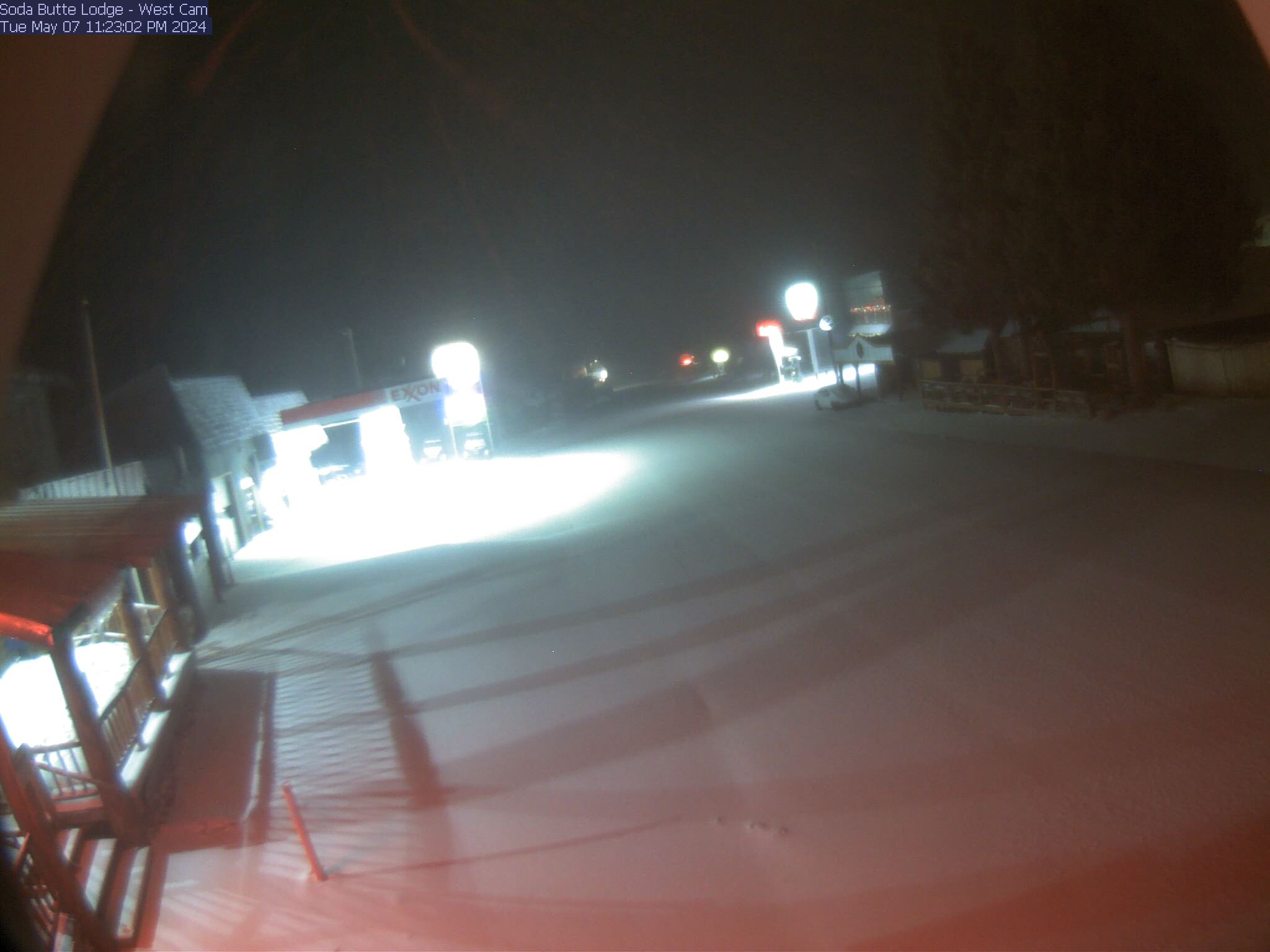
Elevation: 7600 ft
|
Cooke City, Soda Butte Lodge, 4 miles east of
Yellowstone Park's Northeast Entrance, looking east
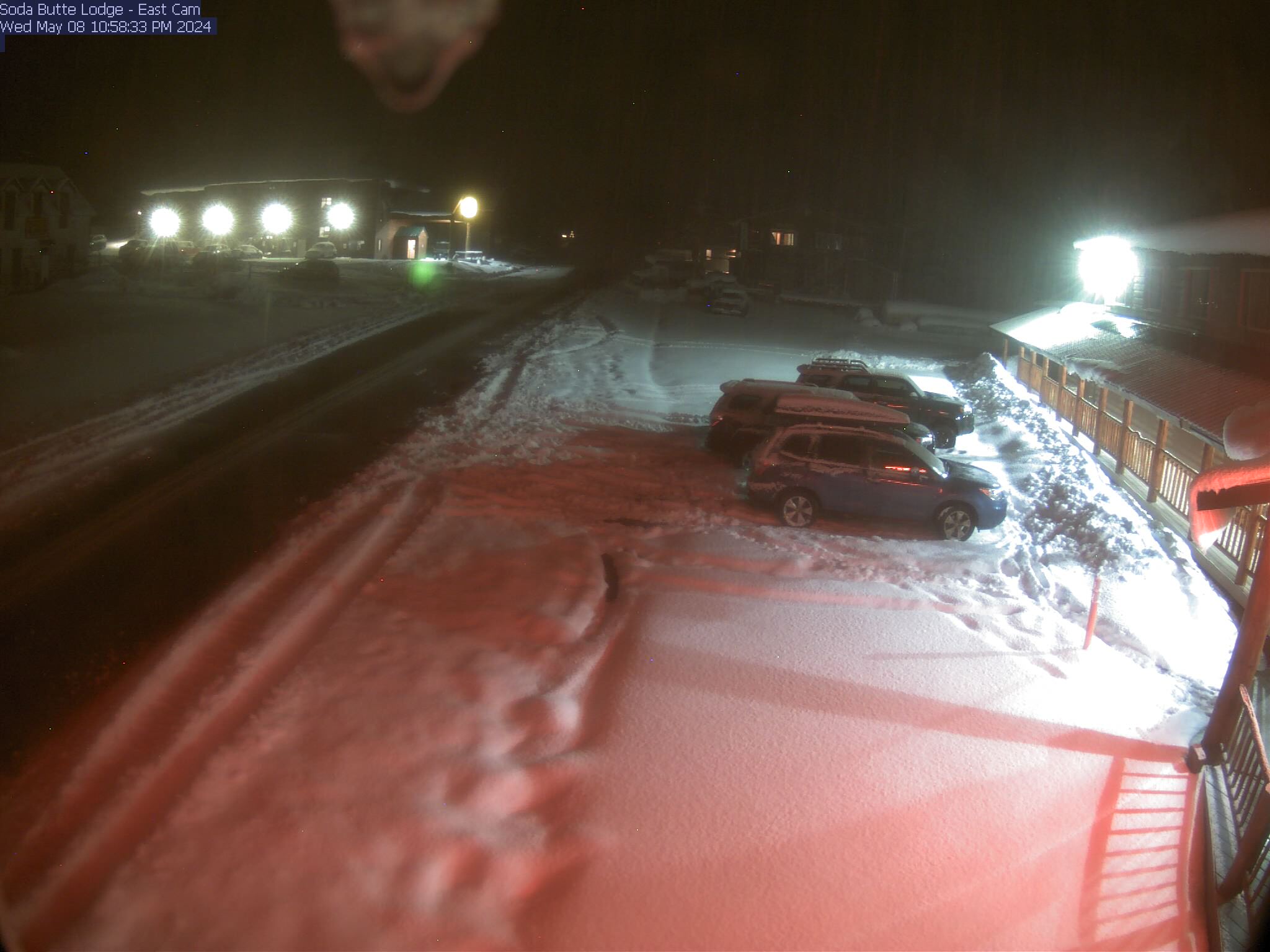
Elevation: 7600 ft
|
Cooke City, 4 miles east of
Yellowstone Park's Northeast Entrance, looking south

Elevation: 7600 ft
|
Yellowstone National Park,
Mount Washburn Fire Lookout, looking NE

Elevation: 10300 ft
|
Yellowstone National Park,
Mount Washburn Fire Lookout, looking south

Elevation: 10300 ft
|
USGS Yellowstone Volcano Observatory Webcam,
view of Biscuit Basin in Yellowstone National Park

Elevation: 7300 ft
(camera location may vary)
|
Yellowstone National Park, Old Faithful Geyser Webcam,
movable cam looking north and NW at several different geysers
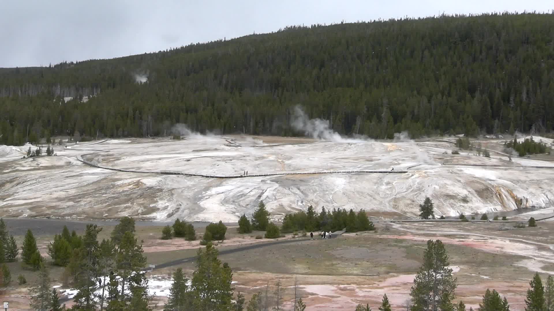
Elevation: 7380 ft
Image modification time: Mon Jan 20, 2025 13:10:03 MST
|
Yellowstone National Park,
Old Faithful Geyser, looking north
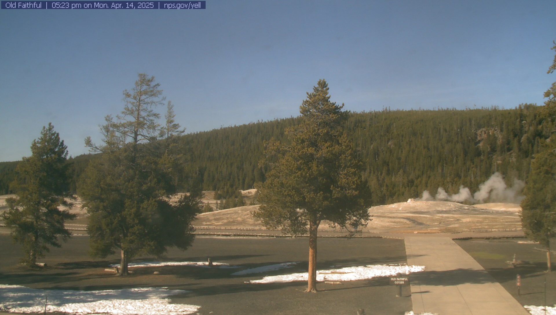
Elevation: 7380 ft
|
Yellowstone National Park, Air Quality Webcam
at Old Faithful Inn Parking Lot

Elevation: 7400 ft
|
Yellowstone National Park,
West Entrance in West Yellowstone, looking west out of the park

Elevation: 6700 ft
|
Yellowstone National Park,
West Entrance in West Yellowstone, looking east into the park

Elevation: 6700 ft
|
Raynolds Pass on MT 87, camera 1 mile north of ID-MT border,
19 miles WNW of West Yellowstone, looking

Elevation: 6778 ft
Image modification time: Wed Dec 31, 1969 17:00 MST
|
Raynolds Pass on MT 87, camera 1 mile north of ID-MT border,
19 miles WNW of West Yellowstone, looking

Elevation: 6778 ft
Image modification time: Wed Dec 31, 1969 17:00 MST
|
Raynolds Pass on MT 87, camera 1 mile north of ID-MT border,
19 miles WNW of West Yellowstone, looking

Elevation: 6778 ft
Image modification time: Wed Dec 31, 1969 17:00 MST
|
Raynolds Pass on MT 87, camera 1 mile north of ID-MT border,
19 miles WNW of West Yellowstone, looking

Elevation: 6778 ft
Image modification time: Wed Dec 31, 1969 17:00 MST
|
Henrys Lake on US 20, 5 miles SW of ID-MT border,
12 miles WSW of West Yellowstone, looking north

Elevation: 6617 ft
|
Henrys Lake on US 20, 5 miles SW of ID-MT border,
12 miles WSW of West Yellowstone, looking south

Elevation: 6617 ft
|
Rendezvous Ski Trail Web Cam,
West Yellowstone, just west of the West Entrance

Elevation: 6700 ft
|
Yellowstone IMAX Theatre,
West Yellowstone, just west of the West Entrance

Elevation: 6700 ft
|
Yellowstone Kelly Inn,
West Yellowstone, just west of the West Entrance

Elevation: 6700 ft
|
West Yellowstone Grizzly & Wolf Discovery Center,
just west of the West Entrance, Bear Habitat Webcam

Elevation: 6700 ft
|
Yellowstone ClubHouse Inn,
West Yellowstone, just west of the West Entrance

Elevation: 6700 ft
|
West Yellowstone Webcam,
just west of the West Entrance

Elevation: 6700 ft
|
Grand Teton National Park & Grand Targhee
|
Distant view of Teton Range from ID 33 near Tetonia, ID,
located 25 miles WNW of the Grand Teton

Elevation: 6185 ft
|
View of Teton Range from Teton Valley north of Driggs, ID,
located 16 miles WNW of the Grand Teton
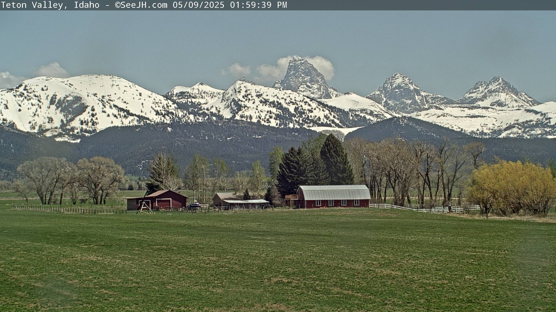
Elevation: 6260 ft
|
Zoomed view of Teton Range from Teton Valley in Driggs, ID,
located 14 miles west of the Grand Teton
(includes annual archives of saved images since Dec 2009)
![]()
Elevation: 6300 ft
|
View from the Colter Building in downtown Driggs, ID,
15 miles west of the Grand Teton

Elevation: 6150 ft
|
View from the summit of Fred's Mountain at Grand Targhee Ski Resort,
movable cam located 7 miles WNW of the Grand Teton,
view rotates every 30 seconds with a stunning closeup shot of the Tetons

| |


